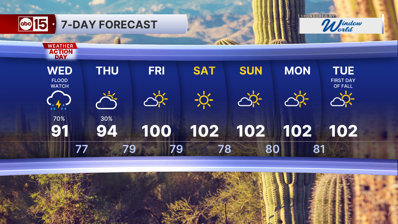


PHOENIX — A surge of monsoon moisture is moving back in and a storm system out west will help provide the instability needed to bring heavy downpours to Arizona over the next couple of days.

Wednesday is an ABC15 Weather Action Day with a Flood Watch in effect through 11 p.m. across the entire Phoenix metro area as well as most of the state.

Any storms that move through will be capable of producing heavy rain and flooding with rainfall rates of 1 to 2 inches an hour, so stay weather-aware and do not drive through flooded roadways or washes.

We could also see storms that bring damaging winds over 60 mph, dangerous cloud-to-ground lightning, hail and blowing dust.
NOAA's Weather Prediction Center has put a big chunk of the state under a Moderate risk for flash flooding Wednesday. That's level 3 on a 4-level scale. The red zone stretches from Phoenix east toward Globe & Payson and south through Casa Grande to Tucson.

A Moderate risk means flooding is expected in a lot of places. Washes could fill up fast, streets could turn into streams, and even larger rivers could start to rise.
Widespread storms will start to die down Wednesday night, but a few more are possible Thursday.
This round of rain could help put a dent in our rainfall deficit. In Phoenix, we are a little more than three-quarters of an inch below normal for this point in the monsoon.

The monsoon season officially runs until September 30th.

Do you have a concern in your community or a news tip? We want to hear from you!
Connect with us: share@abc15.com
Want more news in your community? Add ABC15 as a preferred source on Google below: