



PHOENIX — It was a rainy start to the week in the Valley!
Sky Harbor picked up 0.16 inches of rain bringing our Monsoon 2026 total up to 1.41 inches so far.
All that rain also brought us a rare August day with highs in the 90s.
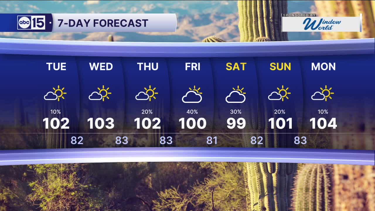
There's a slight chance of a few more spotty storms tonight and tomorrow, then things are looking drier for us toward the middle of the week.
Temperatures will stay slightly below normal with highs in the low 100s and overnight lows in the upper 70s to low 80s across the Valley.
We are tracking another boost in monsoon moisture toward the end of the week, bringing storm chances back through the Labor Day weekend.


2026 Sky Harbor Rainfall to-date: 1.73" (-3.05" from average)
2026 Monsoon Rainfall to-date: 1.41" (-0.45" from average)
__________________________________________
Daily rainfall reports from all across the Valley can be found here.
__________________________________________
PHOENIX IS GETTING DRIER - LOWER RAINFALL AVERAGES NOW
Average Monsoon Rainfall in Phoenix (1981-2010): 2.71" of rain
NEW Average Monsoon Rainfall in Phoenix (1991-2020): 2.43" of rain
Average Yearly Rainfall in Phoenix (1981-2010): 8:03" of rain
NEW Average Yearly Rainfall in Phoenix (1991-2020): 7.22" of rain
__________________________________________
Share your weather photos and videos with us anytime: share@abc15.com.
______________________________________
