


Get ready for another blast of winter weather as we head into the weekend!
A series of storm systems will bring a big drop in temperatures, high winds and chances for rain and snow.
As these storms move through, temperatures will plummet!
Valley highs will fall into the 60s over the weekend after hitting the mid to upper 80s throughout much of this week.
Winds will pick up again Saturday with peak gusts in the Valley near 30 mph. Up north, wind gusts could reach 45 mph.
Wind Advisories are in effect Saturday across northern Arizona.

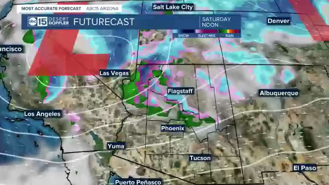
The best chances for rain and snow will be across northern Arizona, but there is another chance of spotty showers here in the Valley on Saturday.
It will be hit or miss, but Valley spots that do see rain could get around a tenth of an inch.
Up north, the snow level will gradually drop to around 3,500 feet by Sunday.
Along the Mogollon Rim, and in other spots above 6,000 feet in elevation, we're tracking the chance of four to eight inches of snow through Saturday night.

A Winter Weather Advisory is in effect in Flagstaff, Williams, Forest Lakes, Heber-Overgaard, Williams, Munds Park and Happy Jack. Icy roads could impact your commute and gusty winds could lead to blowing snow and low visibility at times.

The chance for more rain and snow showers will continue across northern Arizona into early next week as another winter storm moves in.

Our Valley forecast is looking dry starting Sunday as temperatures start to rebound.
Valley highs will rebound into the low to mid 70s by the middle of next week.
